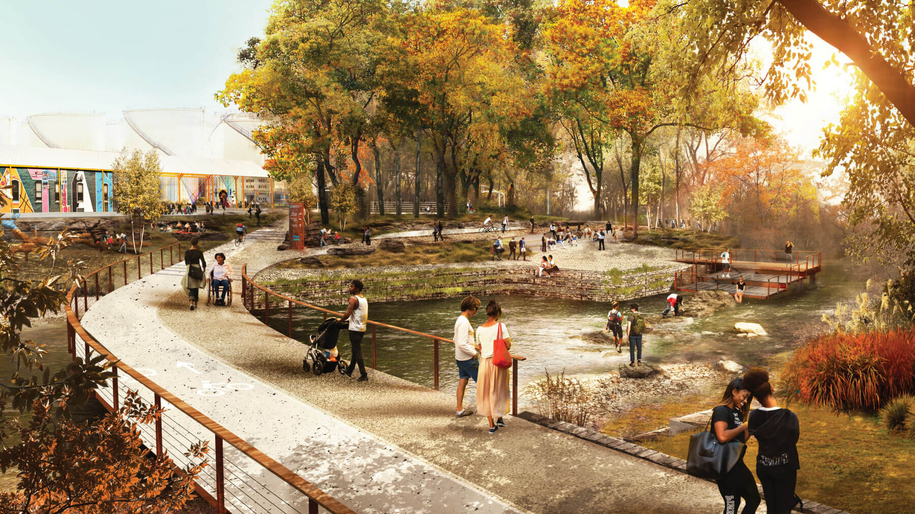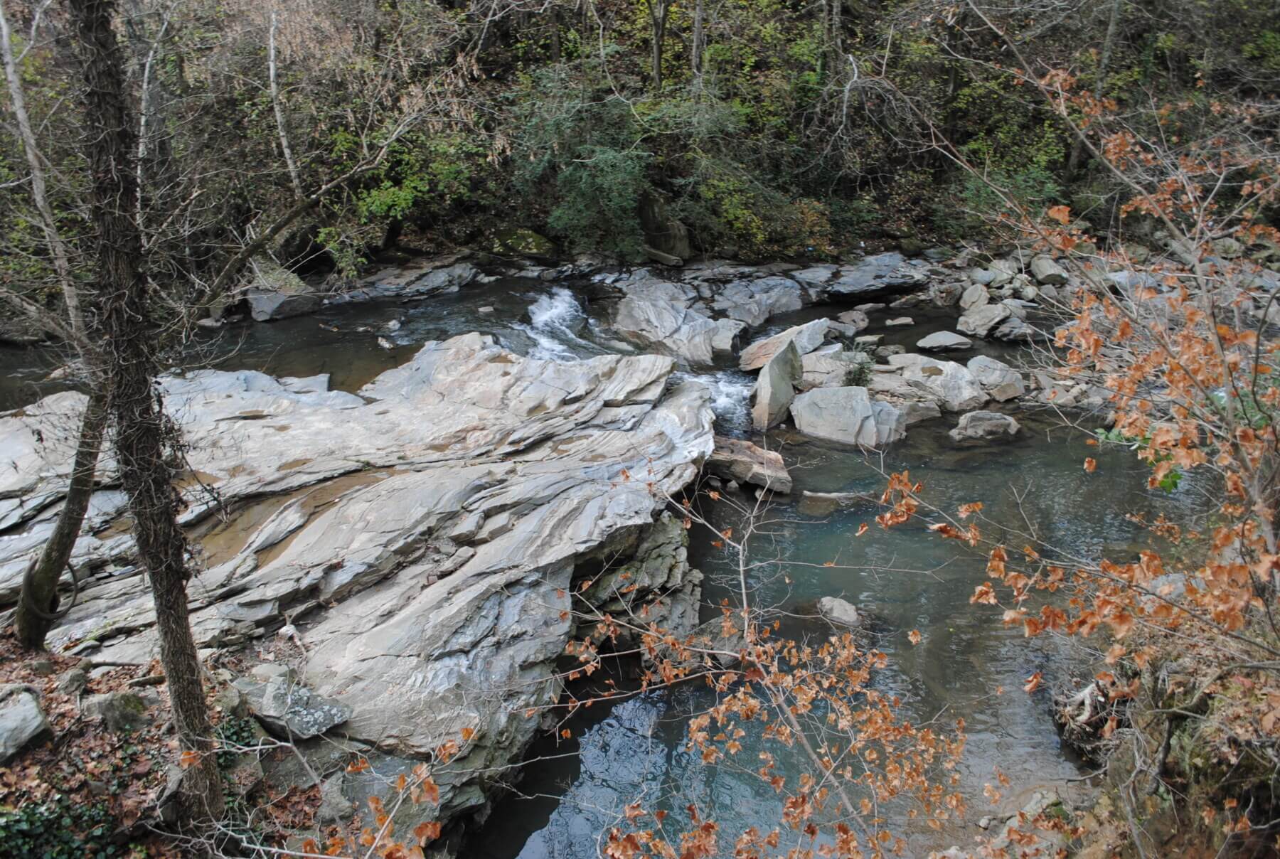
Seeing is Believing
Loved by many, yet hidden from others who have been unable to access and enjoy the river, the Chattahoochee River has the potential to become one of the region’s most treasured assets. The study’s overarching goal is to increase both physical and visual access for everyone, encouraging them to become good stewards of the river by letting them see it and touch it.
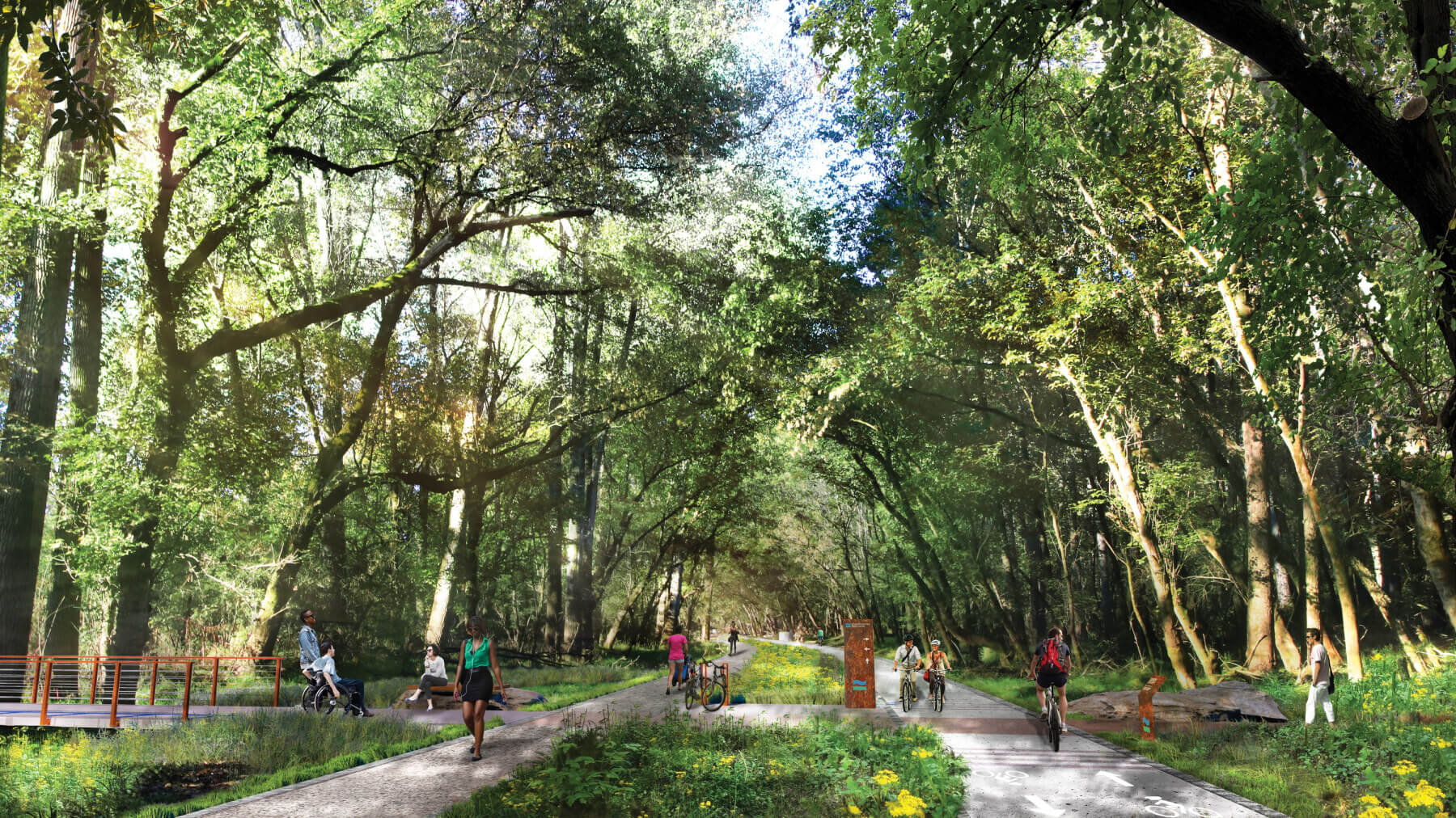
Creating a New Vision for the River
Recognizing the importance of the Chattahoochee and its potential to support outdoor recreation, transportation, ecological health and stewardship, more than 50 stakeholder organizations—under the umbrella of the Chattahoochee Working Group (CWG)—came together to develop a project that creates a new vision for the river, including multimodal trails, water access points, and public spaces.
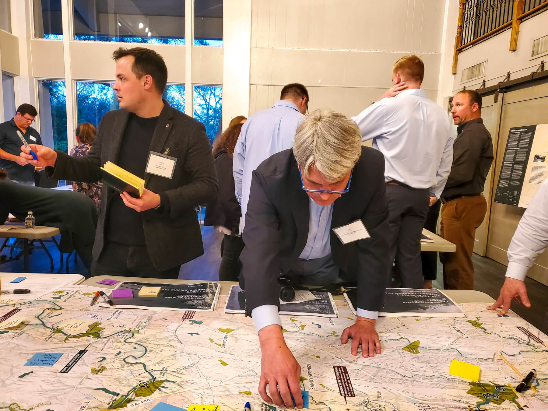
Dividing by Three
Spanning 100 miles, the Chattahoochee RiverLands Greenway Study area encompasses seven counties and more than a dozen cities. Our multidisciplinary team divided the river corridor into three sub-areas (each with its own Sub-Area Committee) based on their unique characteristics and context—from the suburban northern and agricultural southern ends of the study area to its more densely populated urban central portion.
Collaboration & Engagement
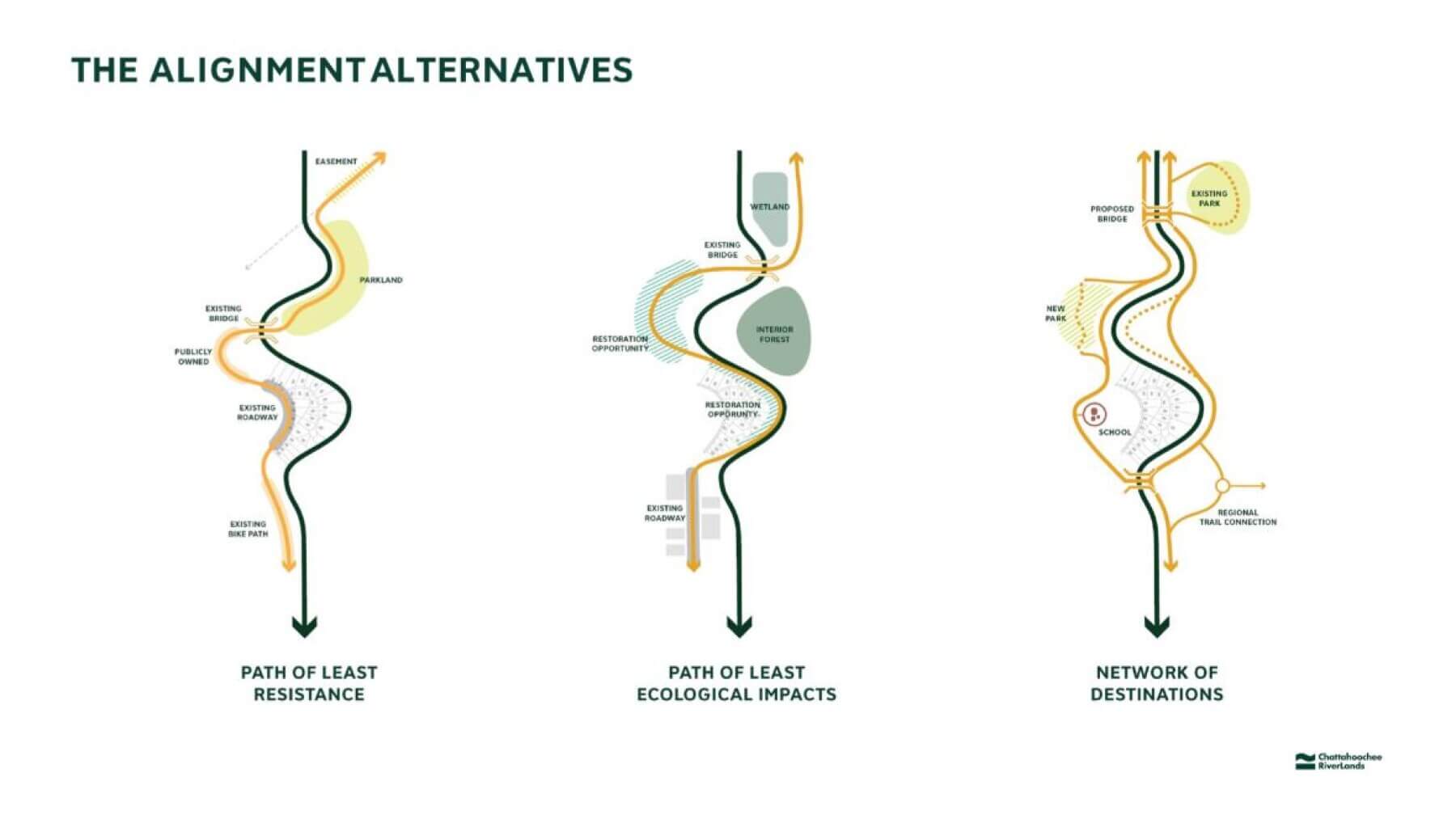
Over the course of more than 80 engagement events, including three public forums, numerous stakeholder meetings, and open studio events offering a range of interactive activities the team engaged more than 700 people. Along with the CWG and Sub-Area Committees, these activities helped inform the RiverLand’s vision, goals and design strategies. They also helped define three primary lenses through which the team evaluated potential greenway alignments, criteria used to identify demonstration sites, and input on the programming and design of access points and public spaces.
A Common Ground for All
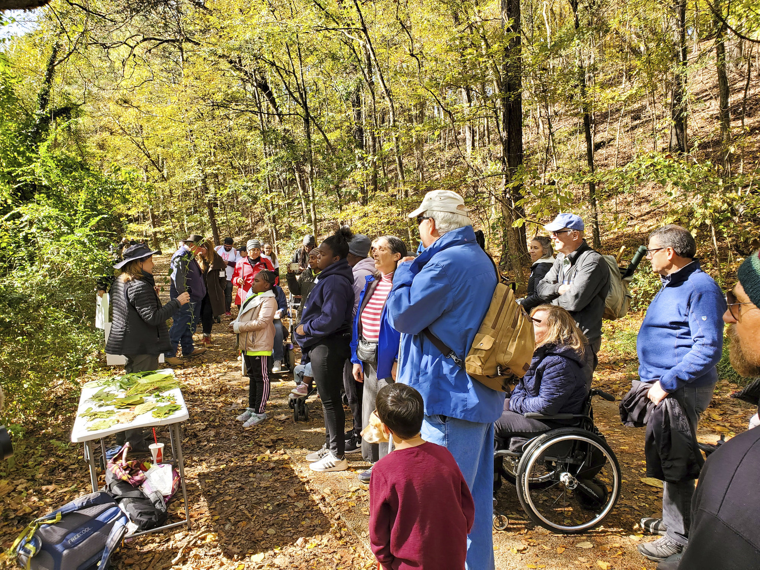
Beyond traditional meetings, visioning techniques and the Chattahoochee RiverLands website, the team also facilitated two River Rambles—targeted events that brought Atlanta teens and individuals with visual impairments and limited mobility to engage directly in a meaningful way. This allowed our team to hear their ideas and hopes for the future of the RiverLands, as well as to learn firsthand about the challenges facing people with disabilities and what it truly means to design for all.
Testing the Vision on the Ground: The Pilot Project
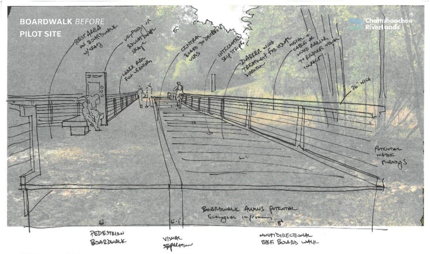
One of several key tasks within the overall master plan process, the pilot project aims to capture the spirit and vision of the RiverLands, while producing a concept plan for a regional destination that showcases the potential of the RiverLands. Additionally, it represents an opportunity to test and demonstrate design strategies and explore at a more detailed level the opportunities and constraints of working within the Chattahoochee River corridor—especially when it comes to working within the context of a sensitive ecological system and the boundaries of the Metropolitan River Protection Act.
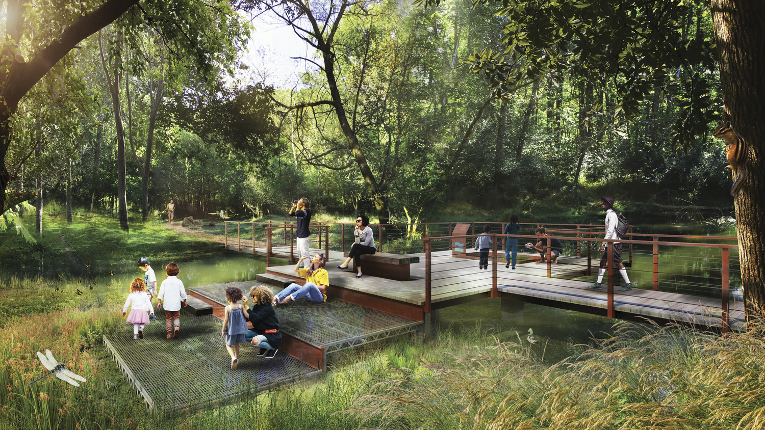
The team developed three distinctly different approaches to threading a trail through the pilot project site, which is located on the river’s western banks in Cobb County. With the goal of providing a varied, interesting and comfortable user experience, the three approaches included trails that offer a more linear pathway with places to stop and rest, a main trail with a series of out-and-back spurs, and a more circuitous, looping trail that combines direct water access with places to stop and rest. They also explored design strategies that will highlight the local history, provide a safe, comfortable multimodal facility, incorporate opportunities to improve ecological function and restore habitats, improve water quality and treat stormwater runoff.
A Living Legacy for Future Generations
A planning study with a bold vision for a seamless network of trails, water access points and public spaces, the Chattahoochee RiverLands establishes a new, positive identity for a 100-mile stretch of the river. It envisions a safe, connective corridor that is not only accessible to people of all backgrounds, ages and abilities, but also improves the ecological health of this cherished river basin.
Thanks to the team’s dedication to coordination and inclusivity, pieces of the RiverLands are already beginning to take shape. For example, a bridge replacement project over Willeo Creek at the Cobb County/Roswell line—designed by Gresham Smith—will provide connectivity between East Cobb County and Roswell along the preferred alignment of the Chattahoochee RiverLands that follows Roswell’s Riverwalk and the existing roadside trail on Lower Roswell Road.
